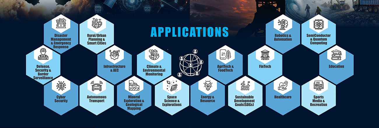
SECTORS WE CATER TO
Aerospace, drones, space, and geospatial technologies are interconnected fields. Aerospace provides the infrastructure and knowledge for developing and operating drones and spacecraft. Drones collect data in space and on Earth, which is analyzed using geospatial technologies. Geospatial analysis helps understand the collected data, valuable for various applications and helps in its usage on ground.
Aerospace
Aerospace refers to the field encompassing aviation and spaceflight. It includes the design, development, and operation of aircraft and spacecraft, as well as the associated technologies and infrastructure.
Space
This refers to the vast expanse beyond Earth's atmosphere, including space exploration, satellite technology, and orbital mechanics.
Geospatial
This field deals with the collection, processing, analysis, and visualization of location-based data. It encompasses technologies like Geographic Information Systems (GIS), satellite imagery, and remote sensing.
Drones (UAVs)
Unmanned Aerial Vehicles or Drones are aircraft that can be remotely controlled and are increasingly used for various purposes, including data collection, surveillance, and delivery.

- Aerospace provides the technology and expertise needed to build and operate drones, which can then be used in space or on Earth to gather data.
- Drones can collect geospatial data, such as aerial imagery and remote sensing data, which can be used in various applications.
- Geospatial analysis is crucial for processing and interpreting data collected by drones and other remote sensing platforms.
- Space-based technologies like satellites also play a significant role in geospatial analysis, providing continuous and broad-scale data collection.

